blah blah blah
Sugar Hill
Length: 5.0 miles out-and-backDifficulty (click for info): Moderate
Elevation Gain: 830 feet (+100 feet on return)
Rating (click for info): 2/10
Elevation: 2985'
Prominence: 715'
Driving Directions:
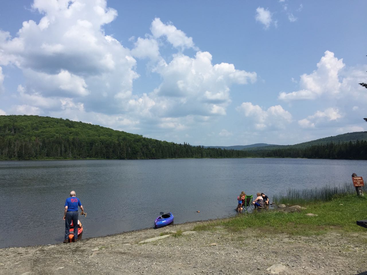
Trailhead and parking area are in Coleman State Park in Stewartstown, NH. From Rt. 26, 6.6 miles east of Rt. 3 in Colebrook and 14.9 miles northwest of Rt. 16 in Errol, turn north onto Diamond Pond Road. Drive 5.5 miles to the headquarters of Coleman State Park. Pass the main offices and campground and bear right into a large parking area on the shore of Little Diamond Pond. Click here for a Google map.
About the Hike:
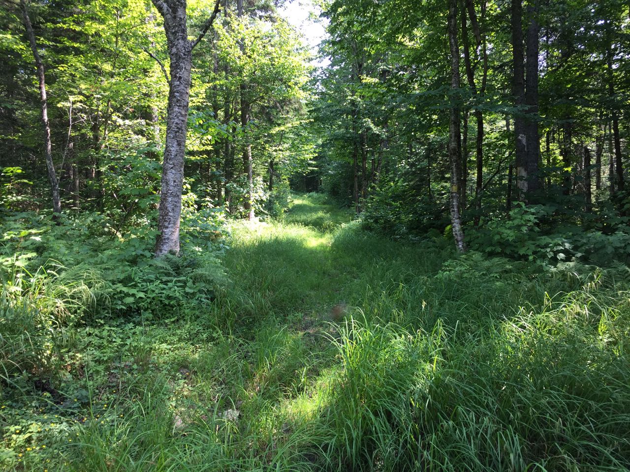
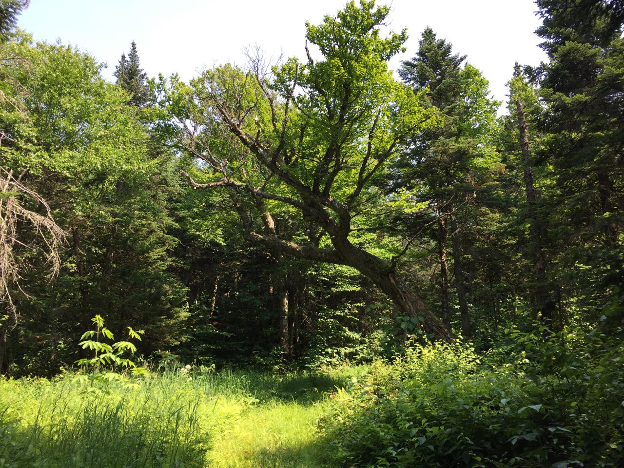
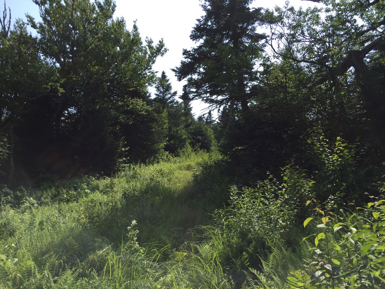
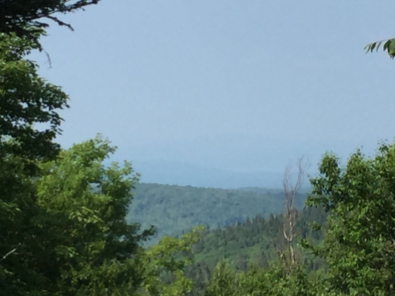
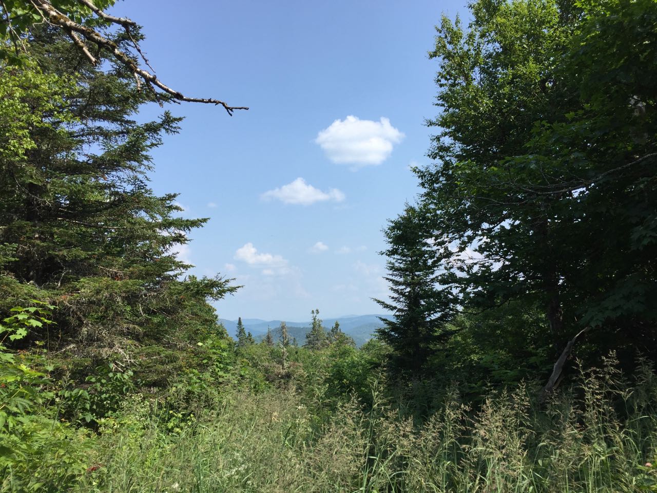
Sugar Hill is the highest point in Coleman State Park. It's a rather prominent mountain and comes in just below the 3000-foot mark. The Cohos Trail, northern New Hampshire's long-distance footpath, passes below the summit, while a snowmobile trail reaches all the way to the top. The summit, which formerly housed a radio relay tower for the Forest Service, is criss-crossed with overgrown paths, and doesn't have any very good views. Minimal views can be obtained from the snowmobile trail on the way up, but the peak does not have many appealing features, at least during the summer months. It may be more pleasant to climb and see the views through the trees in late fall when there are no leaves on the trees and the trails are not as overgrown with grass.
The hike starts on the shore of Little Diamond Pond, in Coleman State Park. This picturesque waterbody is one of the nicest features of the hike. From the parking area on the lakeshore, walk back down the park road the way you drove in toward the main camping area of the park. Cross the lawn and go all the way to the southern edge of the lawn and follow a dirt path past several cabins. Look for a Cohos Trail sign on your right and turn into the woods to follow it. It winds through the woods, and in just over 0.1 miles, reaches a snowmobile trail. Bear left and follow it. It leads uphill gradually for a quarter mile to a large clearing. The trail crosses the clearing and descends to cross a snowmobile bridge over a brook after another quarter mile. It then begins a long, steady ascent to the col between Sugar Hill and nearby Tumble Dick Mountain. In the first 0.3 miles, it passes through an area of logging patch cuts on both sides of the trail, then swings right. It continues uphill in the vicintity of more clearings, becoming more steep. It climbs for the next 0.6 miles, swinging onto the side of Tumble Dick and making a long 180-degree turn back toward Sugar Hill. The trail runs flat through pretty forest, then turns left into the woods at a sign in 0.1 miles. You will want to continue straight on the snowmobile trail, leaving the Cohos Trail. A sign indicates this is a "spur to scenic view". In 0.1 miles, reach the col between the two peaks, where the official spur trail leads off to the left to a tiny opening in the trees where an equally tiny view can be seen over tall grasses. Continue on the snowmobile trail a short distance to a fork and bear right onto another snowmobile trail, climbing again. The trail ascends moderately up the side of Sugar Hill for 0.35 miles, with slight views available behind you as you walk. It then swings right and leads across the hill for 0.15 miles to a point just below the summit, where it continues across and descends the other side of the hill. You can return the way you came.
Printable directions page